Ongoing R&D Projects


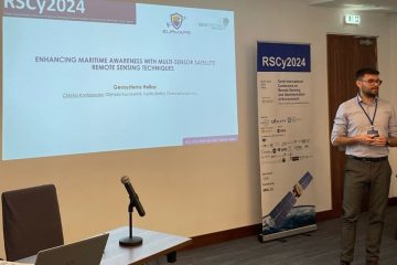
Geosystems Hellas (GSH) participated in the 10th Conference on Remote Sensing and Geoinformation of Environment (RSCY2024) organized by the ERATOSTHENES Centre of Excellence. Led by CEO Betty Charalampopoulou and CTO Christos Kontopoulos, GSH showcased its Read more…
(Photo by banks.com.gr) The Greek Space Tech Forum 2024 served as a significant event for showcasing and highlighting Greek innovative solutions in the space sector. With its successful presence, Geosystems Hellas made a strong impact Read more…
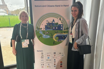
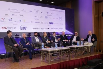
Geosystems Hellas attended the CDP Awards Europe 2024. The Move the Money event was this week in Paris, and organized CDP in partnership with Euronews TV and the ChangeNOW summit. Betty Charalampopoulou, CEO of Geosystems Read more…