Latest News
Leica FPES
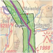
Leica FPES software offers advanced διαθέτει ανεπτυγμένη functionality for flight plans of RC30, ADS40, ADS80, και LIDAR ALS50, ALS60, ALS70 sensors but also for frame, line cameras or on/off sensors. Read more…
Leica FPES software offers advanced διαθέτει ανεπτυγμένη functionality for flight plans of RC30, ADS40, ADS80, και LIDAR ALS50, ALS60, ALS70 sensors but also for frame, line cameras or on/off sensors. Read more…
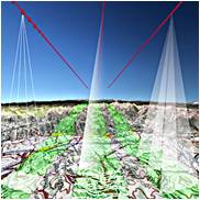
Leica MissionPro software offers «state of the art true 3D mission planning» solutions Read more..
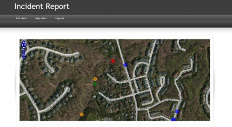
Intergraph Mobile Alert is a cloud-based service that provides access to registered institutions such as local governments or services of general interest in connection with incidents that have been recorded by citizens. Intergraph Mobile Alert is available to the public as a free iOS or Android application that allows problem/incident Read more…

GeoMedia® Smart Client is a GIS workflow management system that connects tasks and dependencies across different roles in a process, and dynamically configures to reflect a user’s role and specific workflow steps. End users are able to use advanced geospatial functionality via simple-to-use map-based tools, disentangling them from nonessential tasks Read more…
Geospatial Portal is a browser-based, multilingual web application that can be used for finding, viewing, querying, analyzing and consuming geospatial data and web services published by other Hexagon Geospatial solutions or third-party products. It offers advanced client-side discovery, connection, and interaction through a simple client geo-browser that provides an intuitive Read more…
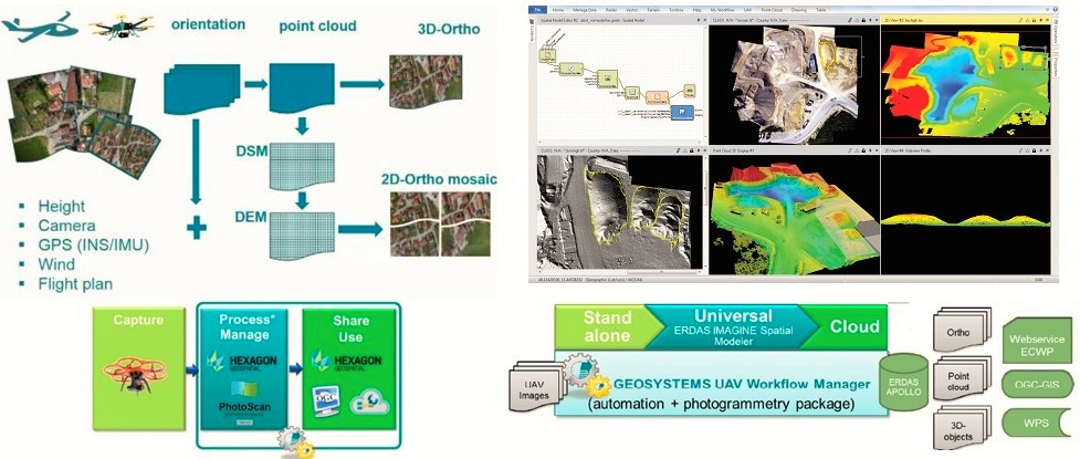
IMAGINE UAV is the ERDAS IMAGINE add-on module for the automated photogrammetric processing of UAV data, deriving high-quality geoinformation. The required products of an UAV survey such as point cloud, orthomosaic and digital elevation model are available in a short time and afterwards they can be directly evaluated. Output Formats: Read more…