Luciad Portfolio
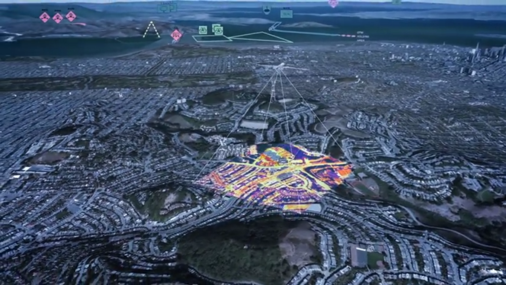
The Luciad Portfolio provides developers with a platform for building situational awareness and real-time location intelligence solutions. With it, you can connect to any database and more than 200 data formats, including real-time data with domain-specific standards. You can harness the power of the GPU and guarantee the highest accuracy, as well as visualize in 2D and 3D with rich and flexible styling options. And you can empower end users for defense, aviation, smart cities, and more to act with intuitive and interactive map-centric views.
The Luciad platform delivers five geospatial software solutions:
Browser
LuciadRIA is the answer to today’s demands for powerful, lightweight applications in the browser. Driven by today’s most advanced web technologies, LuciadRIA uses WebGL, HTML 5 and JavaScript to deliver desktop-like performance to your web applications.
With Hexagon’s browser solution, you can expect high performance and retained accuracy, with desktop-like visualization of all types of 2D information, as well as 3D data and dynamic content, such as tracks. Connect to your data via OGC web services or drag and drop common file formats. Data can be explored in a 2D or 3D map view or vertical intersection view. Combine with a timeline view for 4D analysis.
Desktop / On-board
LuciadLightspeed provides the foundations for advanced geospatial analytics applications. It allows users to rapidly develop high performance C2 and location intelligence applications with clean design implementation and rapid application development.
Server
LuciadFusion is an all-in-one server solution for your data publication workflow and geospatial data management. LuciadFusion lets you manage your data intelligently, store and process many data formats, and feed data to numerous applications.
Desktop / On-board
LuciadCPillar delivers a mission-critical desktop API for the C++ and C# community. Focusing on needs within the defense domain, LuciadCPillar provides the foundation for advanced geospatial applications.
Mobile
LuciadMobile takes the power of geospatial intelligence out of the office and into the field; from the frontline onto city streets. LuciadMobile empowers users to create flexible applications for Android devices.
For more information please contact us
Contact person:
Stavros Chlorokostas
Surveying Engineer NTUA, Hexagon Geospatial Solutions Technical Support
![]() s.chlorokostas@geosystems-hellas.gr
s.chlorokostas@geosystems-hellas.gr
![]() +30 2102846144-145
+30 2102846144-145