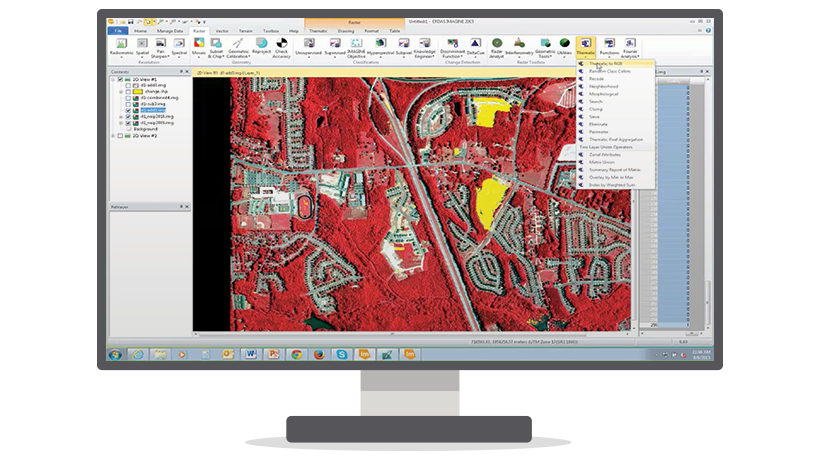
ERDAS IMAGINE
ERDAS IMAGINE is offered within the Producer Suite of HEXAGON GEOSPATIAL. It empowers the user to collect, process and analyze raw geospatial data and ultimately deliver usable information. This solution combines remote sensing and photogrammetric techniques, LiDAR data analysis, basic vector analysis processes and radar data processing. Optional add-ons providing specialized applications are also available to enhance your productivity and potential.
Available in three tiers:
- IMAGINE Essentials®: A powerful, low-cost image and LiDAR mapping and visualization tool that allows different types of geospatial data to be combined and quickly organized for projects. IMAGINE Essentials provides a robust set of tools for geocorrection, analysis, visualization, and map output.
- IMAGINE Advantage®: A geographic imaging toolset that extends the capabilities of IMAGINE Essentials by adding more precise mapping with sensor model support and geospatial data processing functions. The IMAGINE Advantage level allows for Point Cloud editing and includes a complete set of tools to analyze data from imagery via mosaicking, surface interpolation, radar analysis, advanced image interpretation, and orthorectification.
- IMAGINE Professional®: The most sophisticated software for geographic imaging, the Professional level of IMAGINE, includes complex hyperspectral image analysis, and advanced multispectral image classification and point cloud classification tools. It also includes graphical spatial data modeling, which is a unique capability for analyzing spatial data. The robust spatial modeler is a dynamic, graphical environment that provides real time feedback and previews. The modern interface includes extended analysis operators (including Point Cloud) as well as support for python scripting. Authored models can be easily run in batch or published to a server (ERDAS APOLLO WPS).
Latest version 16.8 – IMAGINE 2023
In the newer versions (2023 16.8), the power of machine learning can support big data analysis faster than ever, using GPU acceleration. New radar data processing tools provide additional ways to gather information from the rapidly growing number of radar sources. These newer versions include additional spatial operators for both vector and normal data (vector, raster) and image data, so that they can be used through the combined dynamics of spatial and GIS analysis to report important foundings.
Features of latest versions:
- Programming workflows for processing data in Google Earth Engine through a spatial modeling environment Additional Machine and Deep Learning classifiers are included as well as Spatial Model operators that enable data-driven decision supportIncludes additional Machine and Deep Learning classifiers as well as Spatial Model operators that enable data-driven decision support
- The complete suite runs natively in 64-bit, enabling all individual systems to use all available memory and computing power (CPU)
- The pyramid Layer compression option saves disk space
- Gray-Level Co-occurrence Matrices (GLCM)
- Direct export to BigTIFF and open Cloud Optimized GeoTIFF (COG) files
- ImageChain printing
- Optimized Seamline creation in MosaicPro
ERDAS IMAGINE 2023 (v16.8.0) is only offered as a 64-bit version, providing lots of new technology:
- Image Chain as the Default Raster Display Mode
- Better Windows Scaling Support
- Automated GCP Creation and Image Coregistration in Spatial Modeler Photogrammetry
Workflows - New and Updated Spatial Modeler Operators
- Spatial Model Editor Interface Improvements
- Training and application of neural networks classification, object detection, image segmentation through a specialized and easy-to-use graphical environment and also through a spatial modeling environment (Spatial Modeler)
- Better Format Support
Landsat 4, 5, 7, and 8 from USGS, JPEG 2000 NoData Mask, DIMAP v2 satellite imagery (e.g Pleiades, SPOT 7), Esri File Geodatabase (*.fgd), Hexagon Smart Point Cloud (HSPC), ICEYE and more - General improvements
File Chooser improvements, Improved GPU acceleration, Addition of more Projected Coordinate Systems (PCS), Better SAR functionality, Support for CSG imagery and more
IMAGINE Expansion Pack
This new add-on combines seven (7) powerful advanced tools into a single add-on with attractive prices for easier acquisition. The prerequisite is IMAGINE Advantage/Professional. Moving forward, the individual IMAGINE Expansion Pack add-ons will not be available for purchase. Existing customers will be excluded from this new arrangement. The IMAGINE Expansion Pack includes the following:
- IMAGE AutoSync ™ – Automated image to image registration
- IMAGINE DeltaCue – Exclusive wizard-based tool for detecting changes in images
- PICTURE OrthoRadar ™ – Radar image reordering
- IMAGE NITF – Enhanced NITF file support tool
- IMAGE StereoSAR DEM ™ – Production of ground models from a stereo radar image
- IMAGE VirtualGIS® – Interactive 3D imaging, analysis and browsing
- Stereo Analyst for IMAGINE – Collection of three-dimensional features from stereo imagery
For more information please contact us
Contact Person:
Lina Karagianni
Hexagon Geospatial Solutions Technical Support
email: l.karagianni@geosystems-hellas.gr
tel: +30 2102846144-145