M.App X
M.App X is a cloud-deployable enterprise solution that fosters geospatial tradecraft creation, common usage and secure sharing of the latest intel, ultimately making the latest information accessible and reusable. Built on decades of experience in providing image analysis capabilities, M.App X contains industry-specific tools and workflows for the GEOINT community and security organizations.
BENEFITS
Easy to Manage
Unified and centralized software management reduces administrative costs for Defense agencies and solves the problem of inconsistent software versions.
Faster Rasters and Vectors
Using the most advanced web technology, the M.App X environment delivers desktop-like performance and real-life visualizations.
Disseminate and Share Quickly
Because M.App X is cloud-based, people in the field and decision makers have instant access to the latest information, sharing the same view.
CAPABILITIES
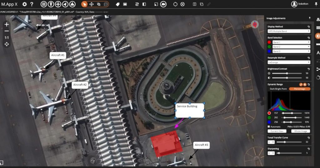
Simplified, Intuitive Interface
Personalized data management, 3D and stereo displays, precise sensor model measurement, smart annotation and more makes M.App X easy to operate with little training needed.
Examine with Precision
Get immediate feedback with dynamic adjustment. Measure position, height, bearing, angle, polygon area, perimeter, precise elevation, and sensor position information in…
Report with Confidence
Create illustrative maps using a rich styling library of symbols, for a centralized geospatial data repository gives everyone in the organization the most current information.
Geoprocessing
50 pre-made geoprocessing models are delivered with the system, with new models developed and added regularly. We also have a large body of online examples and support.
For more information please contact us
Contact person:
Stavros Chlorokostas
Surveying Engineer NTUA, Hexagon Geospatial Solutions Technical Support
![]() s.chlorokostas@geosystems-hellas.gr
s.chlorokostas@geosystems-hellas.gr
![]() +30 2102846144-145
+30 2102846144-145