Leica ALS70 Airborne Laser Scanner
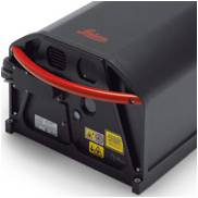 An economic LIDAR system capable of meeting your present and future needs as it is fully upgraded.
An economic LIDAR system capable of meeting your present and future needs as it is fully upgraded.
We are happy to announce that the ERDAS Extensions 2020 SP2 now supports ArcGIS®. COMMUNICATION TO REPS ERDAS Extensions release Executive summary Hexagon’s Safety, Infrastructure & Geospatial division announces that ERDAS Extensions 2020 SP2 Read more…
NEW SOFTWARE SOLUTIONS 2022, FOR UNIVERSITIES AND INSTITUTES «REMOTE SENSING, PHOTOGRAMMETRY & GEOGRAPHIC INFORMATION SYSTEMS» Are your students interested in a career in geospatial sciences? Now, you can provide them with the leading-edge technology Read more…
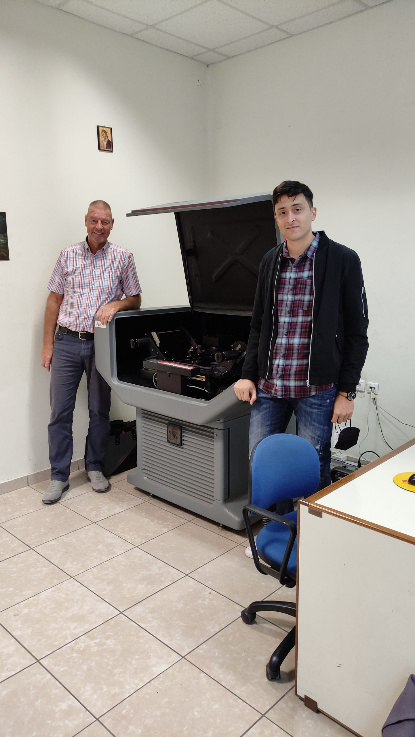
The contract for the maintenance of the photogrammetric scanner DSW 700 was successfully completed at the premises of the Hellenic Military Geographical Service, today October 1st. The photogrammetric scanner DSW excels in performance, while the Read more…