GEOMEDIA WebMap
Geomedia WebMap enables direct creation of interactive web maps by using the configuration and application creation tools provided in GeoMedia itself, eliminating the need for programming. Configure the layout of the web application interface and create user-defined queries and other components. Provide direct, real-time access to your geospatial data. Users can view, query, and analyze multiple geospatial formats simultaneously, with no pre-publishing or translation required.
GeoMedia WebMap supports a broad range of customers who need to visualize and examine geographic data on the Web. From easily creating standards-compliant web services to providing sophisticated visualization and analysis within interactive webmapping applications, GeoMedia WebMap enables building powerful solutions for sharing your organization’s rich geospatial data.
Real World benefits of Geomedia Webmap:
- Bring the power of geospatial processing to the web
- Maximize the value of your geographic information
- Give your users fast and easy access to your geospatial data and functionality
- Access and analyze data anywhere and anytime
- Improve productivity
- No programming expertise required
- Based on industry standards
- Proven performance scalability model
- Create your own custom web application
ROBUST WEB SERVICE SUPPORT
Support for web service industry standards—including OGC WMS (Web Map Service), OGC WFS (Web Feature Service), and OGC WMTS (Web Map Tile Service).
POWERFUL VISUALIZATION CAPABILITIES
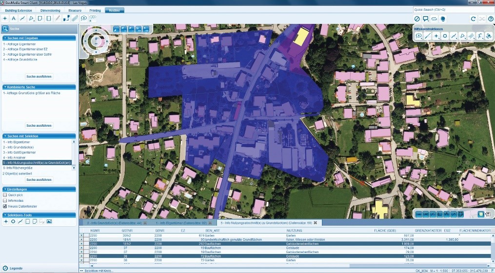
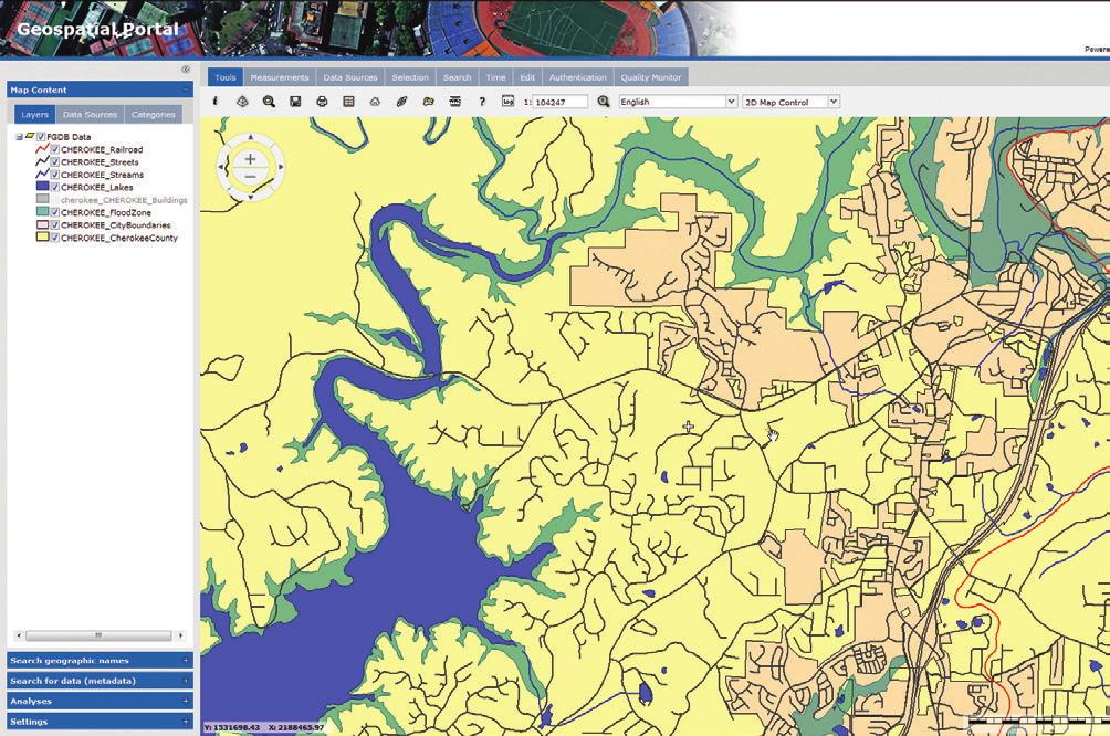
GeoMedia WebMap utilizes Geospatial Portal as an integrated web client for web map publishing, and provides the capabilities for users to view, analyze, capture, and update geospatial information in 2D or 3D.
SUPPORT FOR BUSINESS WORKFLOWS
When deployed with the Workflow Manager, GeoMedia WebMap can automate and organize business workflows of government agencies, utilities companies, and other organizations. can be made available in the browser and through Geospatial Portal.
SERVER ADMINISTRATION
GeoMedia WebMap allows administration of web applications via an integrated, web-based administration console. This console lets administrators can manage their servers and web services, as well as websites available on those servers.
GeoMedia WebMap Mobile
GeoMedia WebMap Mobile is a mobile-device-based application for field inspectors or field crews who need access to their organizations’ GIS. It provides online mode as well as offline mode capabilities that allow display and modification of data in areas without online accesses to the database.
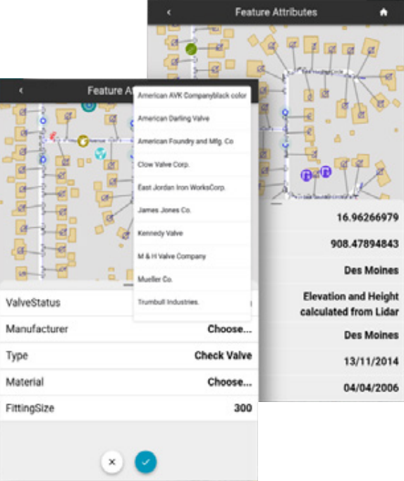
- Used for all types of field and site inspection workflows, such as pole or vegetation inspection for utilities or public works, traffic light and bridge inspection for transportation authorities, and cell or mobile tower site inspection for communications companies.
- Directly see, edit, validate, and update your enterprise GIS data from the field in real time.
- Configure mobile applications to specific workflows for particular personnel and define user permissions.
- Specify backdrop raster data, other overlays of GIS information, and the vector data that a particular user can see and edit.
- Open architecture allows updates to become instantly available to any and all GIS platforms you use on the desktop, web, or mobile devices.
- Uses OGC- standard web services: compatible with all GIS platforms. Lets you work directly in your database without data conversion, synchronization or temporary data storage
- Downloadable from the Apple and Google app stores.
For more information please contact us
Contact person:
Ioannis Maroufidis
Electrical & Computer Engineer NTUA, CSO, Integrated Solutions Engineer
![]() j.maroufidis@geosystems-hellas.gr
j.maroufidis@geosystems-hellas.gr
![]() +30 2102846144-145
+30 2102846144-145