ATCOR Workflow
ATCOR Workflow is an add-on for ERDAS IMAGINE. It supports atmospheric correction and helps users improve the quality of optical satellite data.
The name ATCOR stands for Atmospheric Correction. The tool includes a powerful dehaze algorithm and an easy-to-use interface.
As a result, users can process satellite imagery faster and extract more accurate information from their data.
What Is ATCOR Workflow?
ATCOR Workflow helps users correct atmospheric and topographic effects in satellite imagery.
These effects can reduce image quality. They can also make it harder to detect real surface features.
Therefore, ATCOR Workflow helps users create clearer and more reliable geospatial products.
It is especially useful for remote sensing, environmental monitoring, land analysis, and Earth Observation applications.
Key Features of ATCOR Workflow
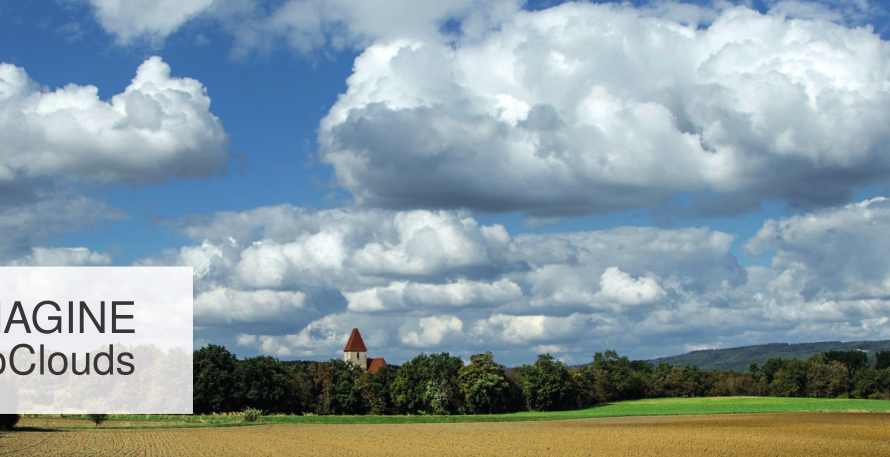
Fog and cloud removal
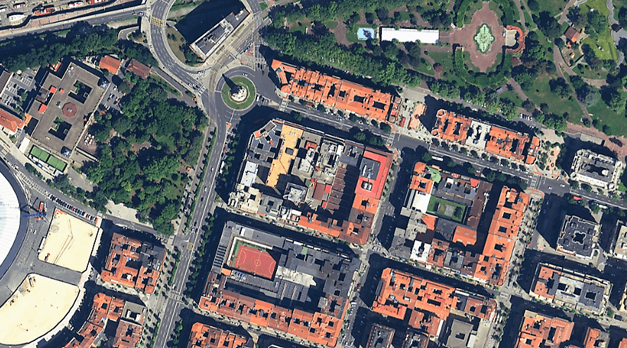
ATCOR Workflow removes fog, haze, and sparse clouds from visual satellite data.
This improves image clarity. It also helps users see the real features of the scene more easily.
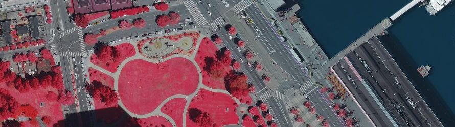
Accurate spectral information
The software helps users work with visual data that includes actual spectral values.
As a result, satellite images become more useful for analysis, classification, and monitoring.
Surface reflectance retrieval
ATCOR Workflow supports the retrieval of surface reflectance, emissivity, and temperature.
It achieves this through atmospheric and topographic correction.
Therefore, users can produce more accurate and consistent remote sensing results.
Automatic haze and cirrus removal
The tool includes a fully automatic algorithm for haze and cirrus cloud removal.
This reduces manual work. It also helps users process large datasets more efficiently.
DEM preparation
ATCOR Workflow includes fully integrated DEM preparation.
This supports better topographic correction, especially in areas with complex terrain.
BRDF correction
The software also supports BRDF correction in rugged terrain.
This helps reduce illumination differences caused by viewing angles, terrain shape, and sunlight conditions.
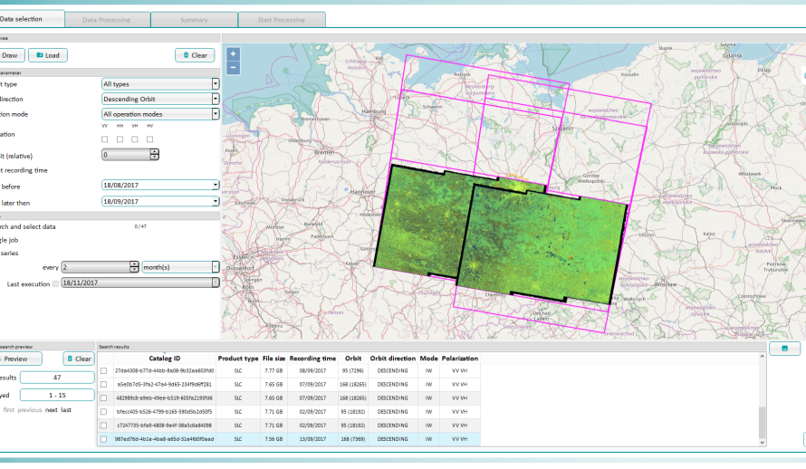
Support for multiple satellite sensors
ATCOR Workflow supports more than 30 satellite sensors.
These include Sentinel-2, WorldView, SPOT, Pléiades, and Landsat.
Therefore, users can apply the workflow across different Earth Observation missions and datasets.
Why Use ATCOR Workflow?
ATCOR Workflow helps users improve satellite image quality and reliability.
It supports:
- clearer satellite imagery
- better atmospheric correction
- improved surface reflectance products
- faster processing workflows
- more accurate remote sensing analysis
- easier integration with ERDAS IMAGINE
As a result, professionals can make better decisions based on corrected and reliable geospatial data.
ATCOR Workflow is designed for use within ERDAS IMAGINE.
It replaces the older ATCOR for IMAGINE version, which was frozen with ERDAS IMAGINE 2018.
Therefore, ATCOR Workflow provides a modern solution for users who need atmospheric correction inside the ERDAS IMAGINE environment.
Geosystems Hellas Supports Your Remote Sensing Work
Geosystems Hellas supports organizations that use ERDAS IMAGINE and related remote sensing tools.
Our team can help you understand how ATCOR Workflow fits your projects. We can also support you with software information, demonstrations, and technical guidance.
Contact us at +30 210 284 6144 or mail@geosystems-hellas.gr for more information.