IMAGE STATION

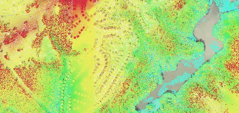
ImageStation® is specially designed for large-scale photogrammetry processes as well as professionals who produce maps and must convert large amounts of raw spatial information into easy-to-use and exploitable information. ImageStation enables digital photogrammetry production workflows, including project creation, orientation and triangulation from aerial and satellite imagery. It also provides stereo GIS Read more…

IMAGINE UAV

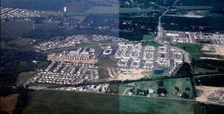
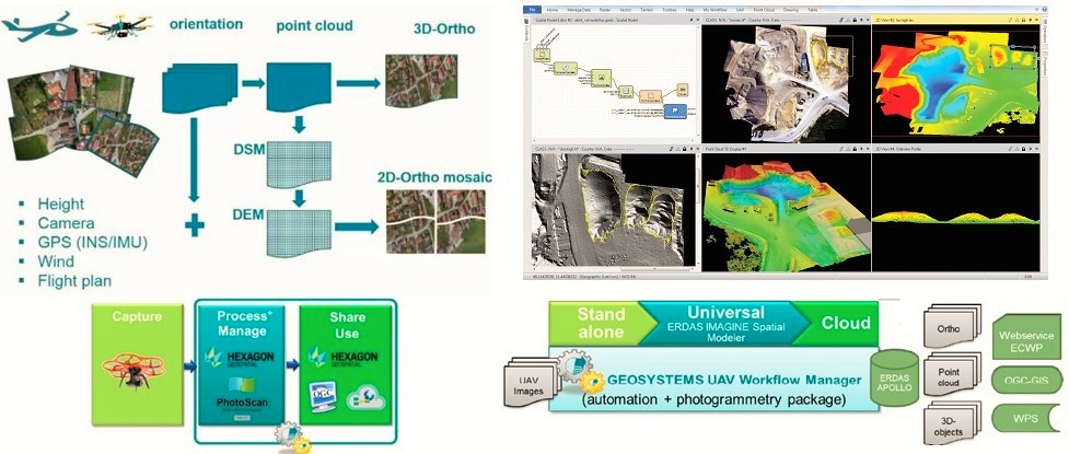
IMAGINE UAV is the ERDAS IMAGINE add-on module for the automated photogrammetric processing of UAV data, deriving high-quality geoinformation. The required products of an UAV survey such as point cloud, orthomosaic and digital elevation model are available in a short time and afterwards they can be directly evaluated. Output Formats: Read more…

σδ

IMAGINE PHOTOGRAMMETRY

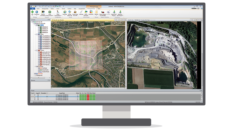
IMAGINE Photogrammetry is an integrated collection of software tools which enable the user transform raw imagery into reliable data layers required for all digital mapping, raster processing, GIS raster analysis, and 3D visualization needs. In addition, it uses state-of-the-art technologies for photogrammetry and image processing applications, perfecting data and controlling Read more…

Skip to content