γ

GeoCompressor

GeoCompressor is a high-performance geospatial image and point cloud compression application that allows you to access our unparalleled compression technology.   Features: Compress terapixel-sized imagery and point cloud files with billions of points. Compress a batch of thousands of images into a single mosaic. Update a region within an existing Read more…
ECW Compression

Enhanced Compression Wavelet (ECW) enables the compression of imagery into ECW format and the result can be easily stored, sent and displayed even on small devices. ECW technology provides exceptional compression, capable of reducing terabyte-sized files to five percent of their original size, while retaining the image’s full visual quality. Read more…

ap

ERDAS APOLLO

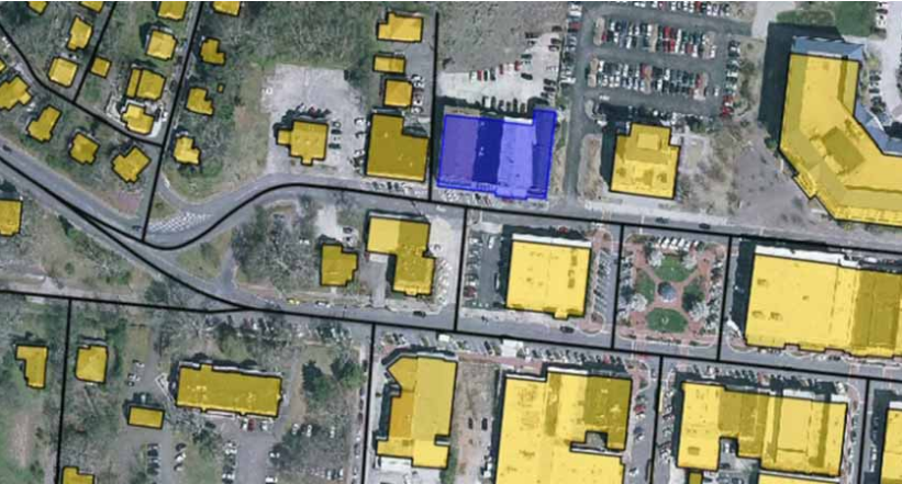
ERDAS APOLLO is a geographic information system for archiving, processing, searching and disseminating geospatial and non-geospatial data into any client and on any device, taking full advantage of their metadata. ERDAS APOLLO implements a Service Oriented Architecture (SOA) which provides the ability for customization and expansion to meet the geospatial Read more…

Mobile Alert

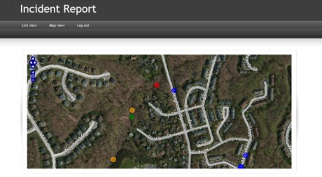
Intergraph Mobile Alert is a cloud-based service that provides access to registered institutions such as local governments or services of general interest in connection with incidents that have been recorded by citizens. Intergraph Mobile Alert is available to the public as a free iOS or Android application that allows problem/incident Read more…

Skip to content