IMAGINE UAV
IMAGINE UAV is the ERDAS IMAGINE add-on module for the automated photogrammetric processing of UAV data, deriving high-quality geoinformation. The required products of an UAV survey such as point cloud, orthomosaic and digital elevation model are available in a short time and afterwards they can be directly evaluated.
Output Formats:
- Point cloud, digital surface model (DSM/DEM) and orthomosaic of the area/object of interest using the captured images and GPS / INS data.
- Automatic creation of photogrammetric stereo pairs and connection points for stereoscopic observation and further processing in Imagine Photogrammetry, StereoAnalyst and StereoAnalyst for ArcGIS.
- *.gmdx file for the ERDASIMAGINE SPATIALMODELER tool so that the user can program complex functions by simply creating a graphical flowchart.
- *.psz and *.psx files containing the entire project for further processing in Agisoft PhotoScan Professional software.
Main features and benefits of IMAGINE UAV:
- Automated solutions in terrestrial applications but also in aerial applications that use high resolution images and images from unmanned media (UAVs).
- Automatic export of photogrammetric products for specialized and non-specialized users.
- Automatic formatting and customization of GPS / INS data.
- Built-in “online help” tab in every application step and “Step-by-Step” guide.
- Ability to compress exported products in ECW and LAS format.
- Export of tie points.
- Image orientation.
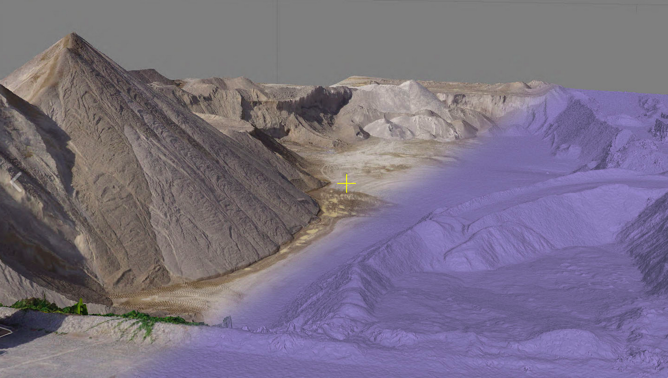
- Production of point clouds.
- Orthomosaic production.
- Production of digital surface model and 3D grid of triangles.
- Compatible with hyperspectral and multispectral images.
- IMAGINE UAV is realized as a spatial model and embeds Agisoft Metashape in ERDAS IMAGINE.
Latest release
The current release 1.8.4 is compatible with ERDAS IMAGINE 2020 Update 3 and offers the following improvements:
- Support for distributed network processing.
- Support of RPC based satellite data.
- Setting of the processing/export region.
- More parameters to better support terrestrial workflows.
- Support mosaic export for ECW, JPEG2000 and IMG to 16 bit (TIFF was already supported).
Agisoft Metashape software provided
Acquiring the IMAGINE UAV tool also provides the full version of Agisoft Metashape Professional 1.7.1 software. With this software the user can export quality photogrammetric products such as point clouds, digital surface models (DSMs / DEMs), 3D textured models, orthophoto mosaics (mosaics) etc. using GPS / INS data or photostable points (GCPs).
Automated solutions in a variety of applications such as:
-
- Impressions of archeological sites and monuments.
- Cadastral, Urban and Spatial Studies.
- 3D modeling.
- Detection of changes.
- Dealing with emergencies.
- Monitoring of critical infrastructure.
- 3D representation of urban areas and arable land – Precision Agriculture.
- GIS applications.
- Identification of land use changes.
- Development of tourist areas.
For more information please contact us
Contact person:
Stavros Chlorokostas
Surveying Engineer NTUA, Hexagon Geospatial Solutions Technical Support
![]() s.chlorokostas@geosystems-hellas.gr
s.chlorokostas@geosystems-hellas.gr
![]() +30 2102846144-145
+30 2102846144-145


