GEOSPATIAL SDI

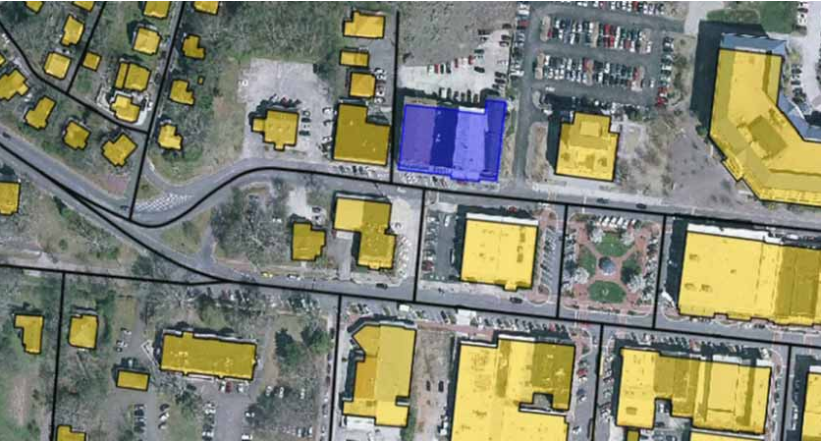
Geospatial SDI is an interoperable and scalable spatial data infrastructure designed for data providers that need to manage and serve secure or licensed information using standards-based web services. It offers powerful tools for controlled access to standards-compliant services and data published by those services, as well as tools for monitoring Read more…

cosmo_skymed

COSMO-SkyMed

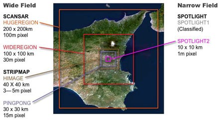
The COSMO-Skymed system consists of four radar satellites for Earth observation. Its purpose is to monitor and provide data on a global scale for commercial and scientific purposes and also provides the possibility of emergency prevention (environmental risk management, defense and national security). The COSMO-Skymed system is at the forefront of Read more…

Skip to content