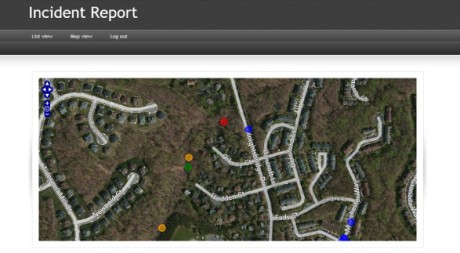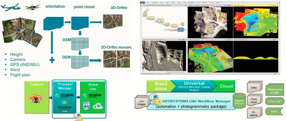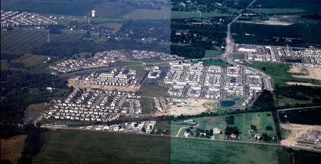
Photogrammetry
IMAGE STATION
ImageStation® is specially designed for large-scale photogrammetry processes as well as professionals who produce maps and must convert large amounts of raw spatial information into easy-to-use and exploitable information. ImageStation enables digital photogrammetry production workflows, including project creation, orientation and triangulation from aerial and satellite imagery. It also provides stereo GIS Read more…