σδ

IMAGINE PHOTOGRAMMETRY

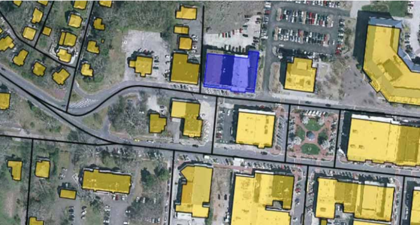
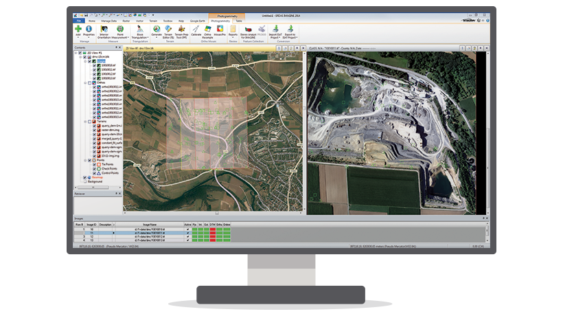
IMAGINE Photogrammetry is an integrated collection of software tools which enable the user transform raw imagery into reliable data layers required for all digital mapping, raster processing, GIS raster analysis, and 3D visualization needs. In addition, it uses state-of-the-art technologies for photogrammetry and image processing applications, perfecting data and controlling Read more…

wm

GEOMEDIA WebMap

Geomedia WebMap enables direct creation of interactive web maps by using the configuration and application creation tools provided in GeoMedia itself, eliminating the need for programming. Configure the layout of the web application interface and create user-defined queries and other components. Provide direct, real-time access to your geospatial data. Users Read more…

GEOSPATIAL SDI

Geospatial SDI is an interoperable and scalable spatial data infrastructure designed for data providers that need to manage and serve secure or licensed information using standards-based web services. It offers powerful tools for controlled access to standards-compliant services and data published by those services, as well as tools for monitoring Read more…

cosmo_skymed

COSMO-SkyMed

The COSMO-Skymed system consists of four radar satellites for Earth observation. Its purpose is to monitor and provide data on a global scale for commercial and scientific purposes and also provides the possibility of emergency prevention (environmental risk management, defense and national security). The COSMO-Skymed system is at the forefront of Read more…

Skip to content