Latest News
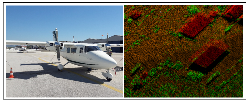
LiDAR and RGB airborne orthophotos coverage and visualization and recognition of archeological findings in Kephissos valley /Phokis
In 2016 the landscape archaeological program “Topographic investigations in the Kephissos valley (Phokis)” started as a joint collaboration of the DAI with the Ephorate of Antiquities of Fthiotida and Evrytania. The integrative collaborative program includes, besides archaeological investigations, aerial imagery (LiDAR, analysis of historical aerial photos), geophysical surveys and geomorphological Read more…
