Latest News
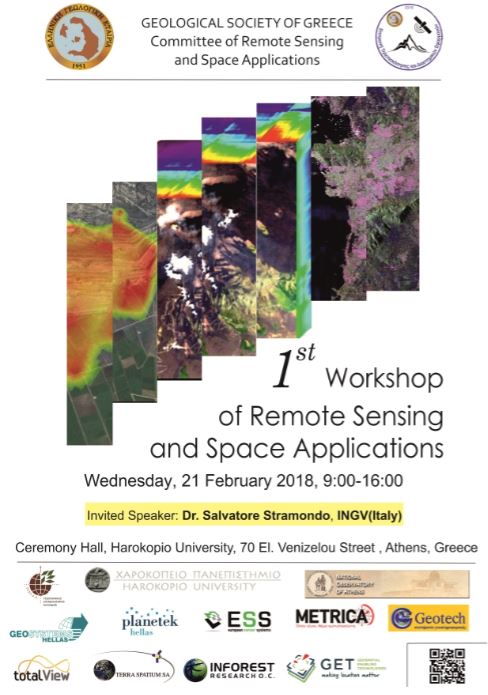
Participation in the «1st Workshop of Remote Sensing and Space Applications» 21 February 2018, Harokopio University, Athens
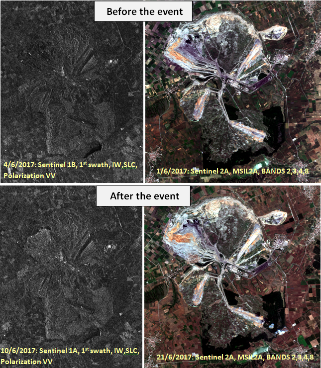
GEOSYSTEMS HELLAS SA participated in the workshop of the Remote Sensing and Space Applications Commission of the Hellenic Geological Society (EGEE) at Harokopio University, entitled “1st Day of Remote Sensing in Geosciences”, which took place on Wednesday, February 21, 2018, from 09:00 to 18:00. Our company participated as a Read more…