Successful Commercial projects

- 2010 : Hexagon Geospatial Lab Software Sale for OTE group
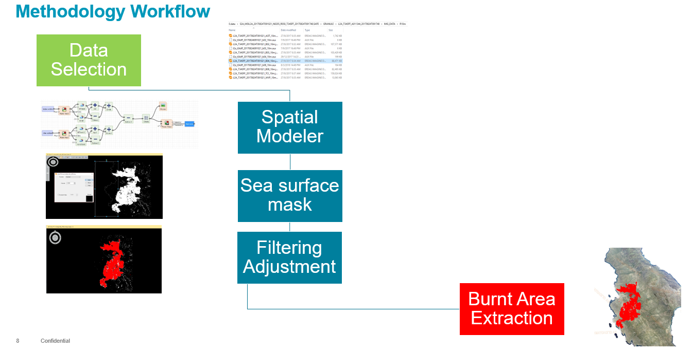
- 2011 : Dadia Forest Natura Area Fire Disaster Mapping using VHR Satellite Imagery Coverage for WWF
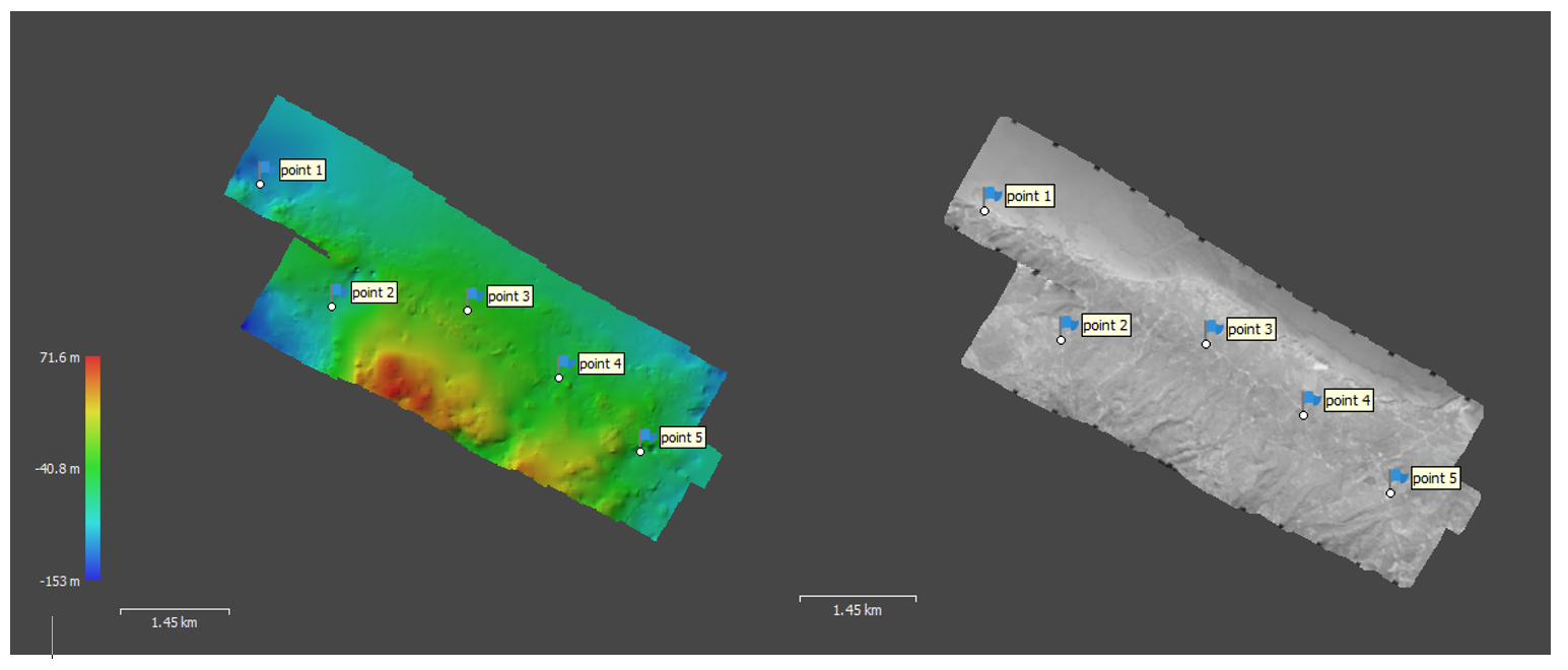
- 2011: DTM country coverage for Protergia
- 2012 : Smartplant for the coal mine of Megalopolis
- 2012 : Apollo WMS, WFS, WPS for the i-BEC, Interbalkan Environment Center
- 2013 : Hexagon Geospatial Photogrammetry Lab Software Sale for Department of Lands and Surveys, Cyprus Ministry of Interior
- 2012-13 : Bathymetric GIS maps for Greece and Mediterranean Region, for the Creation of Application and Supply of Equipment for the Interconnection of a Fisheries Monitoring Center for the PORT AUTHORITY BODY via COSMOS BUSINESS SYSTEMS
- 2012-13 : “Supply of equipment and software and creation of a web content management system” under the Action “Educational approach to natural disasters in the aspect of digital technologies” (Technological Educational Institute of Kavala), http://geospatial.intergraph.com/Company/News/NewsReleases/13-07-29/Kavala_Institute_of_Technology_Enhances_Disaster_Management_in_Greece.aspx
- 2013-15: MOA Greek Payment Authority of Common Agricultural Policy (C.A.P.) Aid Scheme, participation to : a) OPS 302037, Lot 7: Integrated Mapping System with production and use of the country coverage of soil maps & b) OPS 302037, Lot 6: Remote Sensing and photo-interpretation services for agriculture disaster policy
- 2014 : “AUTONEST – Automated Telemetric applications for operational monitoring in Nestos River Basin”, Web Geo portal. This project relates to the development of a Web Process Service (WPS), using models made in advanced desktop RS environment for Classification, NDVI, Flood model, etc.
- 2014 : InSAR Time Series with Atmospheric Estimation Model (InSAR TS + AEM), Pafos District, for the Geological Survey Department, time series SAR images 1992-2012
- 2014 : “FORMAZIONE CARTA TECNICA IN FORMA DIGITALE DELL’ ISOLA DI SANTORINI for the customer Universita degli Studi di Napoli Federico II Napoli
- 2014-2015 : Geoportal Upgrading and Geographic Information Systems Implementation in the Region of Crete
- 2015 : 10cm RGBNIR airborne Stereo Imagery Coverage and processes for the Integrated Information System for the Promotion of Cultural and Tourist Product of the Ionian Region, Islands using Information Technology and Communications, of the Operational Program/WEST GREECE-PELOPONNESE-IONIAN OF ISLANDS 2007-2013
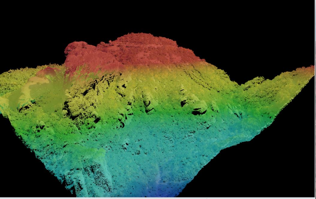
- 2017-2018 : LiDAR & RGB 10 cm mapping for road construction in the Republic of Moldova via Obermeyer


