Latest News
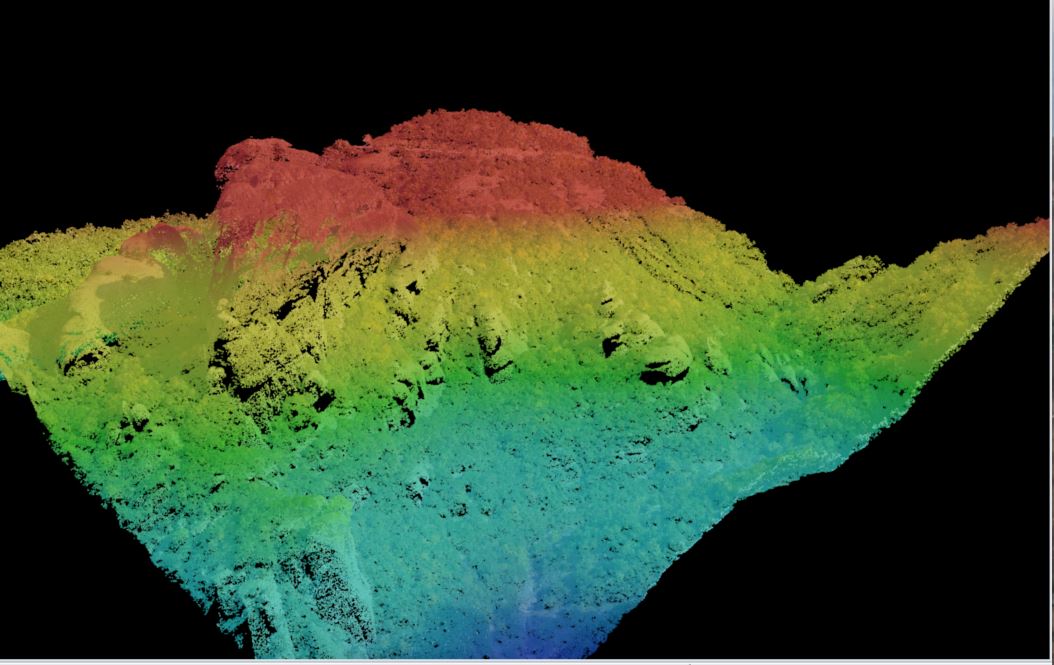
Aerial Coverage of the Area of the Sanctuary of Zeus at Mt. Lykaion through ALS/LIDAR and High Resolution Imagery
The geometric documentation of a cultural heritage site is demanding task due to the complex morphology of the objects. The last years, more and more researchers have used new laser technologies and sophisticated computer vision techniques, mainly for terrestrial applications, with a complementary use of land surveying measurements. Although such Read more…
