Projects-Services
Airborne LIDAR remote sensing techniques for monitor 3D industrial cities
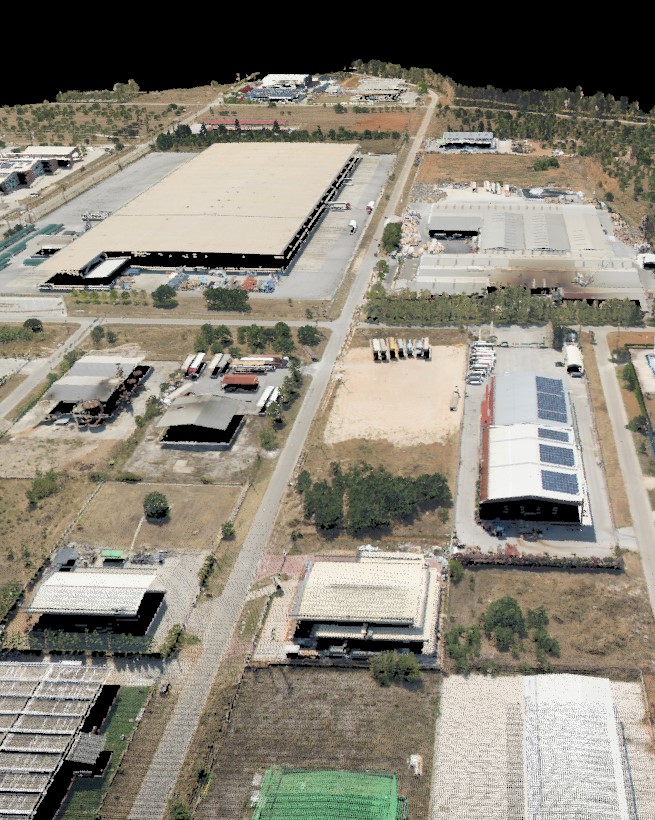
Airborne LIDAR (Light Detection and Ranging), is an active remote sensing method that uses light in the form of a pulsed laser to measure ranges (variable distances) to the Earth. These light pulses, combined with other data recorded by the airborne system, generate reliable and precise three-dimensional (3D) information, in terms of point Read more…